


Sloe was first settled by colonists from Gad's Landing, who discovered it as part of their exploration of the ancient portal system.
All three islands are known to be west of the main continent of Alter Aeon, and Sloe is the westernmost of these. The exact location of any of the islands remains undetermined - no ship sailing west from the mainland has ever found any of the islands, while ships sailing from the islands have never found either the islands or the mainland.
The distances between the islands appear to be so great that even magical location spells are only able to provide an approximate direction, and give no hint as to distance beyond "really, really far away".
Trade Route Maps
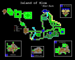


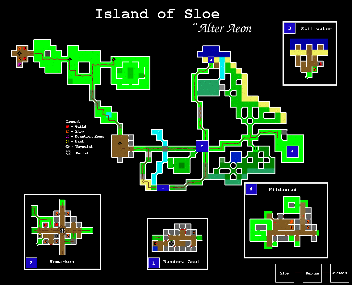
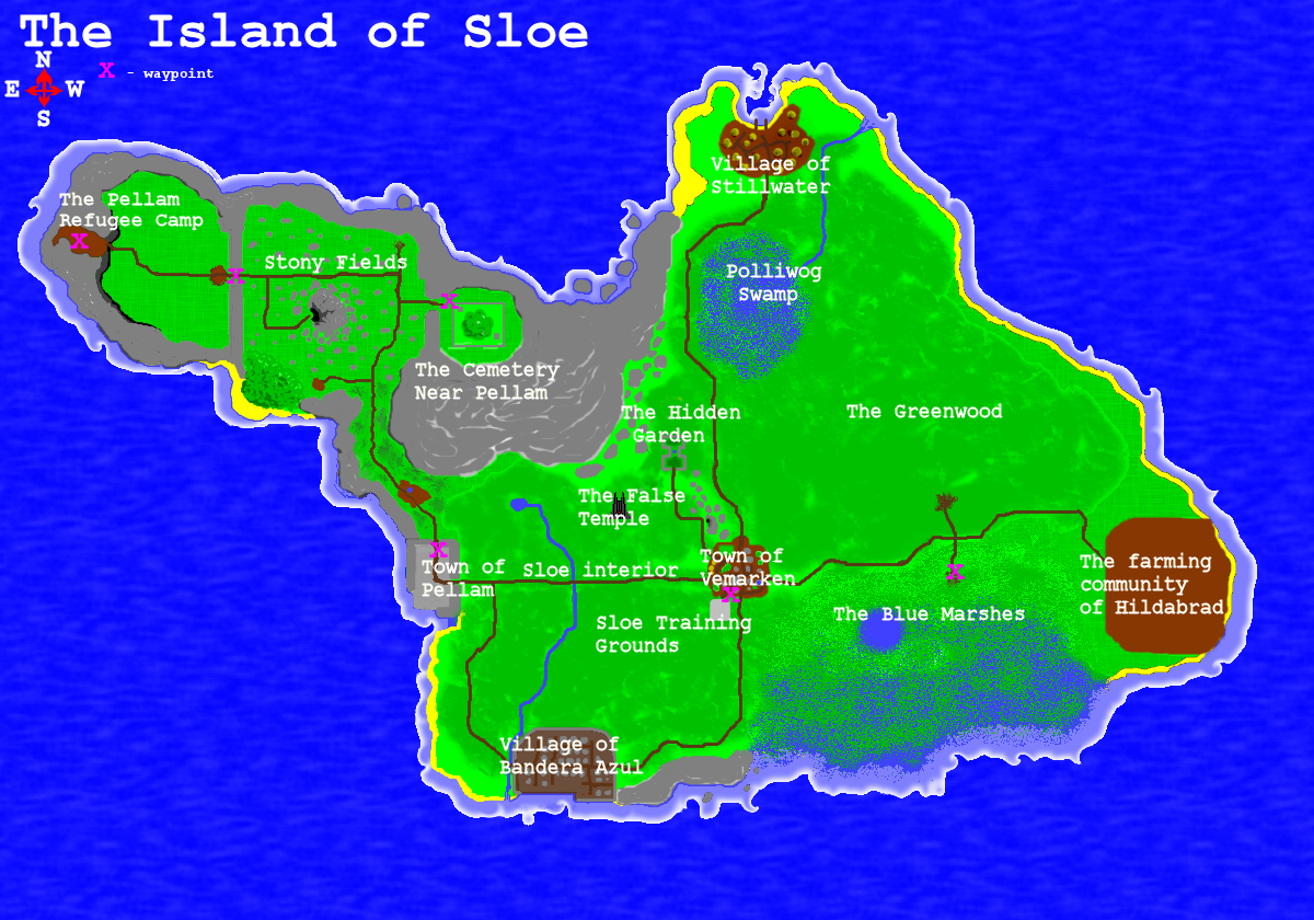
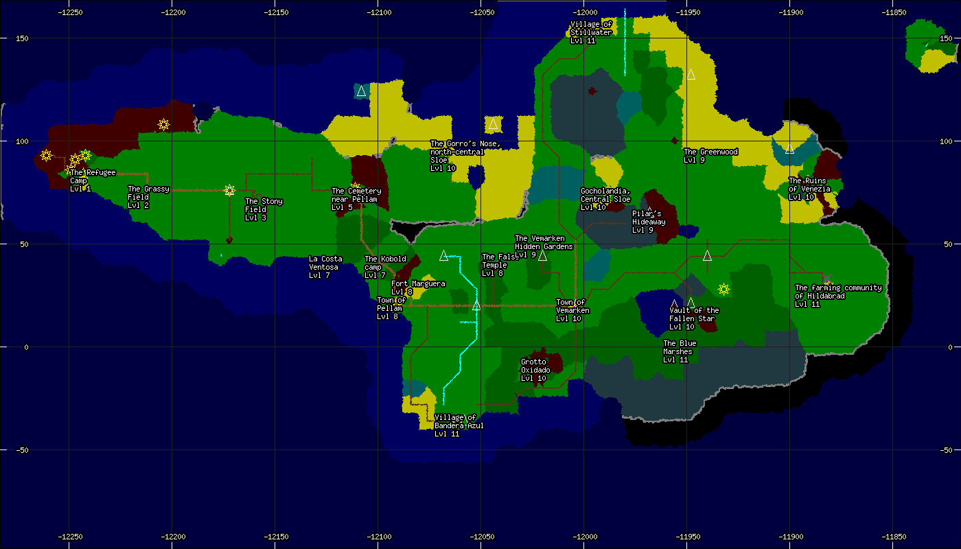
The overhead map was drawn in pieces via airship and is fairly unique as far as maps go. The trade route map was constructed using the standard directional scrying, road marking, and conventional surveying where applicable.
This trade route is geographically correct, but focuses more on roads and rivers than general area layout. For clarity, only general regions and well known landmarks are labeled.
Maps From the Pantheon of Gods
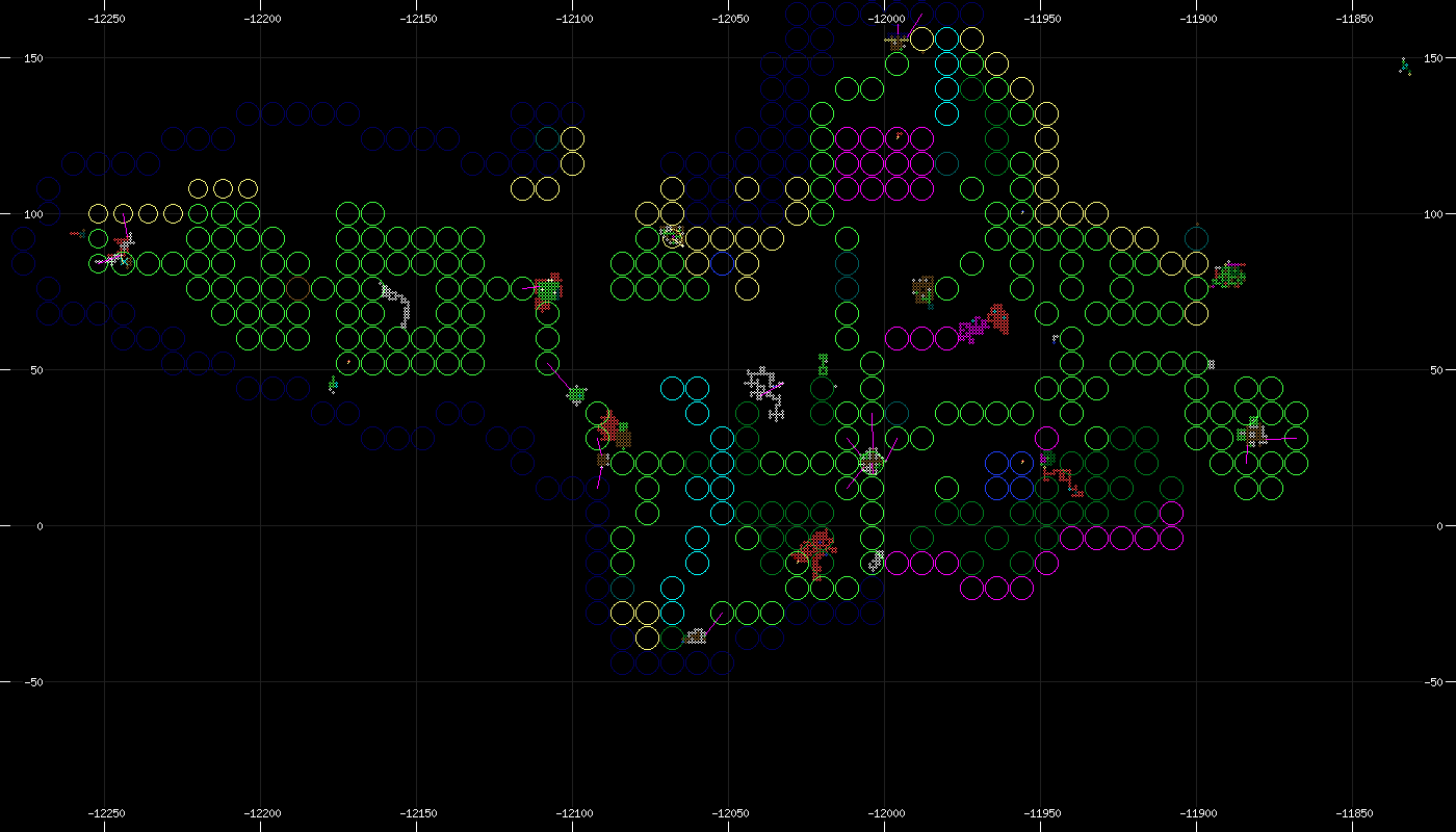
Here are a handful of maps created by the Gods of Alter Aeon, given to select few priests and mortals and eventually acquired by the Cartographers Guild. As with all godly artifacts, these maps may be extremely useful, useless, or even dangerous to adventurers; Where possible, translations and interperetations have been added to improve clarity.This God map, known only as a "Room Map", is difficult to decipher but appears to give a distorted yet very detailed view of the areas within it. Different colors indicate water or other unusual terrain types.
As with all godly artifacts, trust these maps at your own risk.